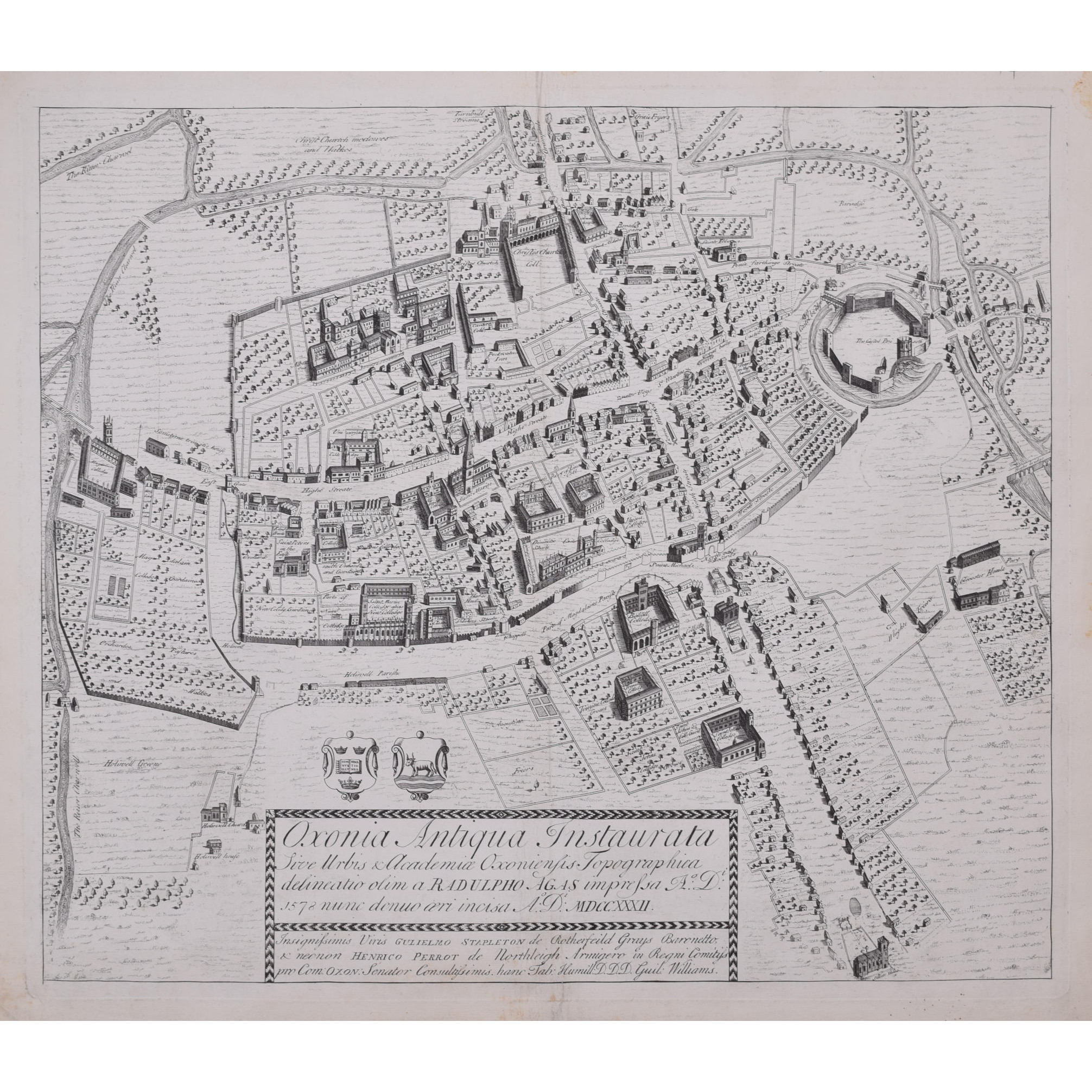
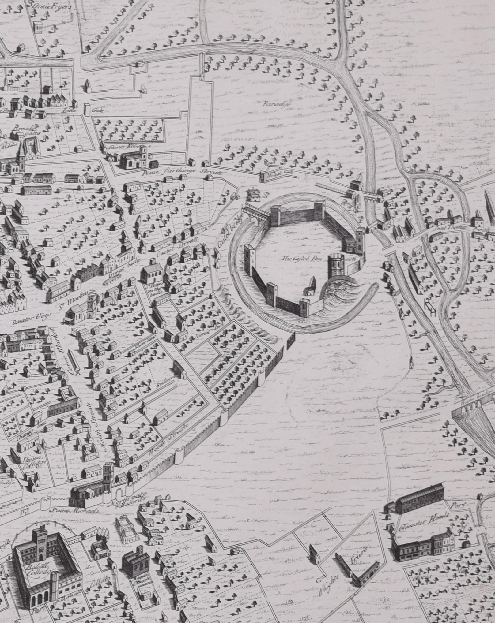
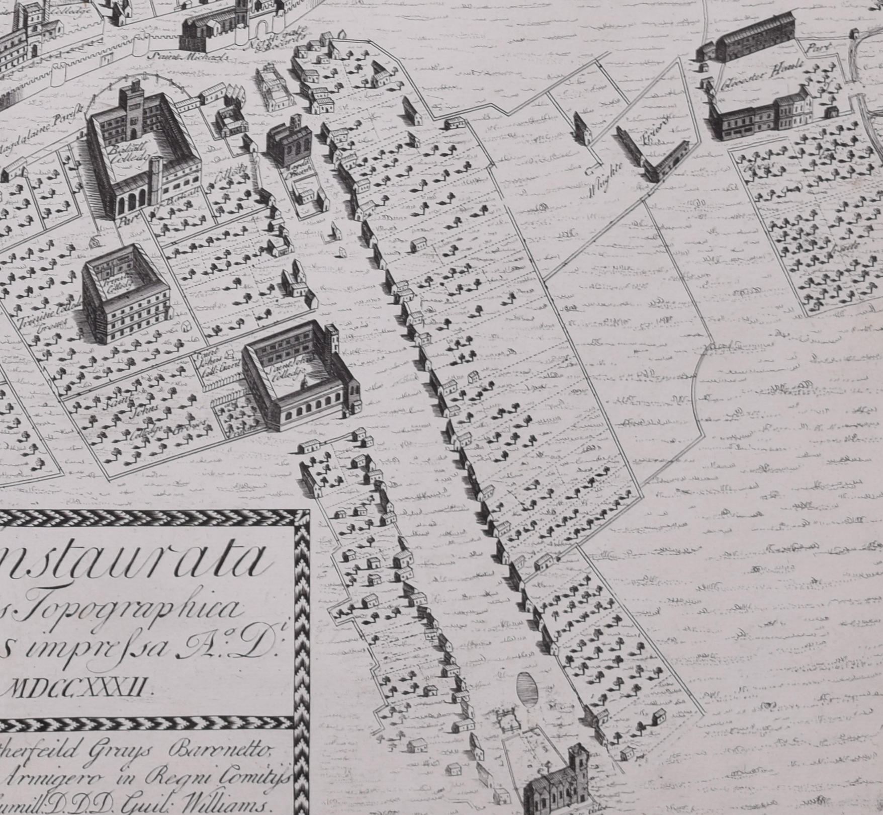
William Williams (Welsh, active 1724 – 1733)
The First Map of Oxford (1733)
Engraving
47 x 54 cm
In 1578, Ralph Agas drew the first ever map of Oxford, studded with the first colleges of the University. In 1733 it was engraved by William Williams for publication in the Oxonia Depicta, a book of illustrations depicting similar views as David Loggan’s volume of engravings.
Ralph Agas was an English surveyor and cartographer. He was born in Suffolk and lived there throughout his life, although he travelled regularly to London. He began to practise as a surveyor in about 1566, and has been described as “one of the leaders of the emerging body of skilled land surveyors”. regular work consisted of drawing up local estate maps and surveys for a variety of clients. He was one of the first estate surveyors to move beyond the traditional practice of compiling purely written descriptions of landed property, and to supplementing them with measured maps.
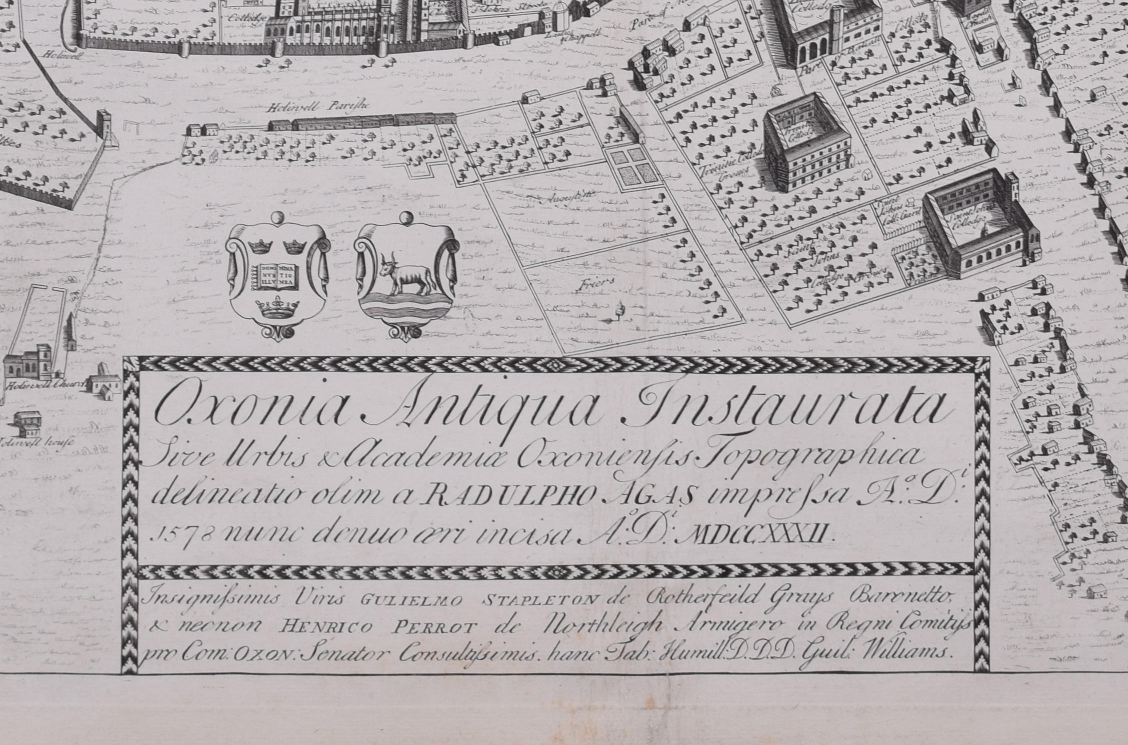
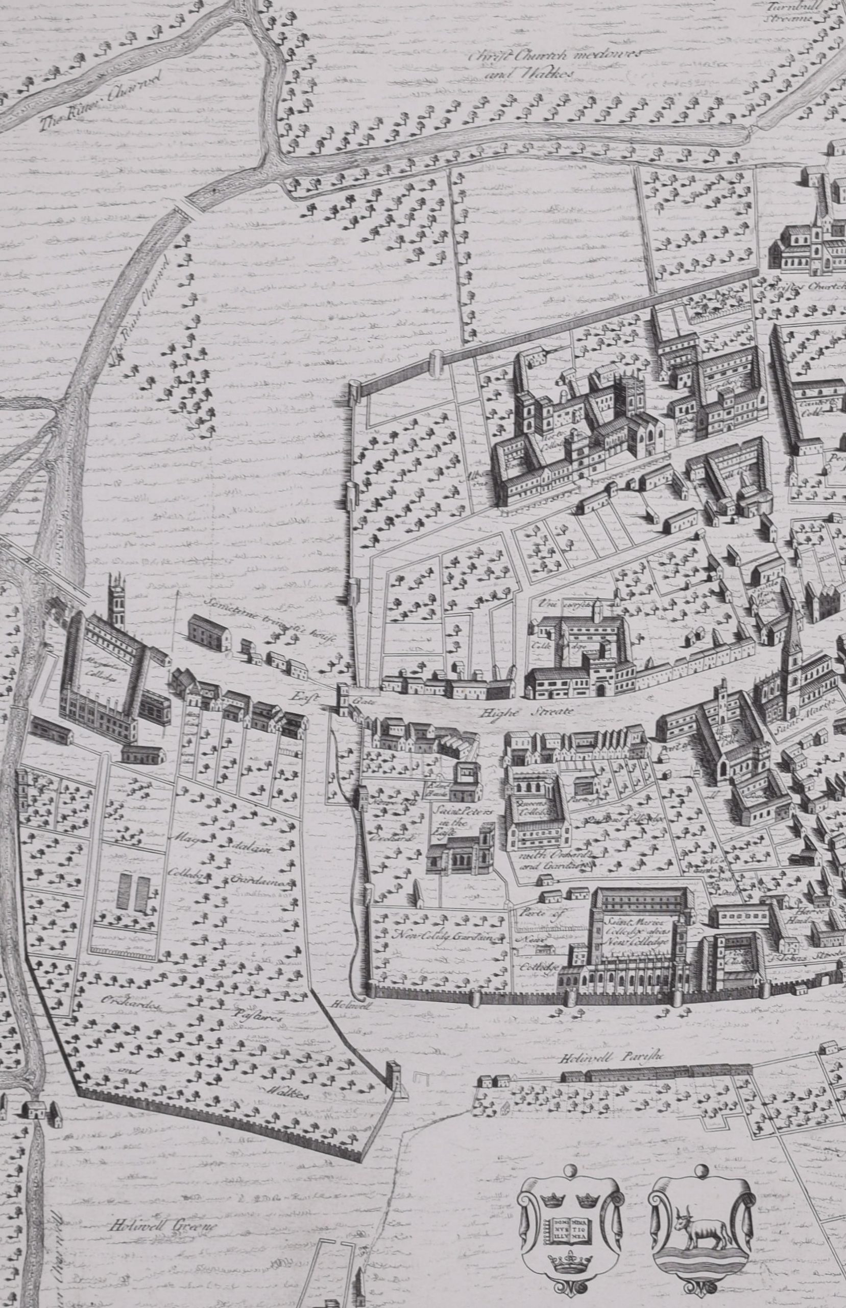
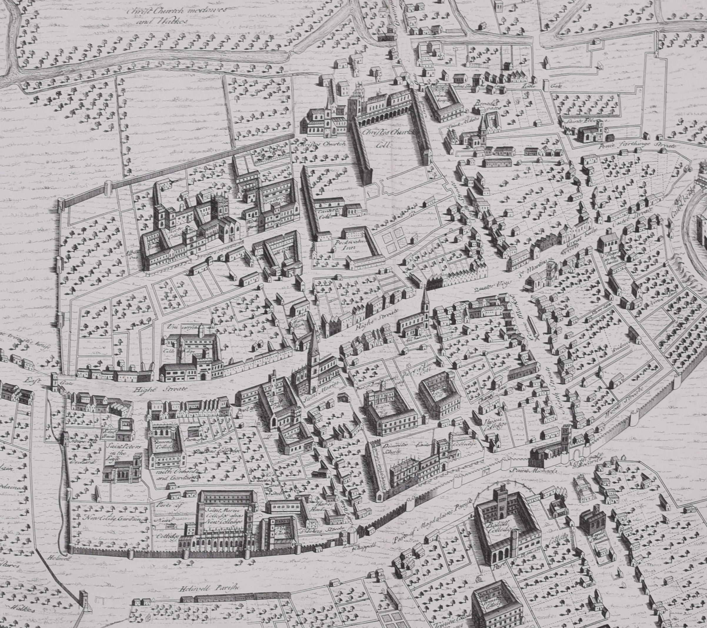
Condition: generally very good; a few marks to margins. Central fold as issued.
If you’d like to know more, please email info@manningfineart.co.uk or call us on 07929 749056.